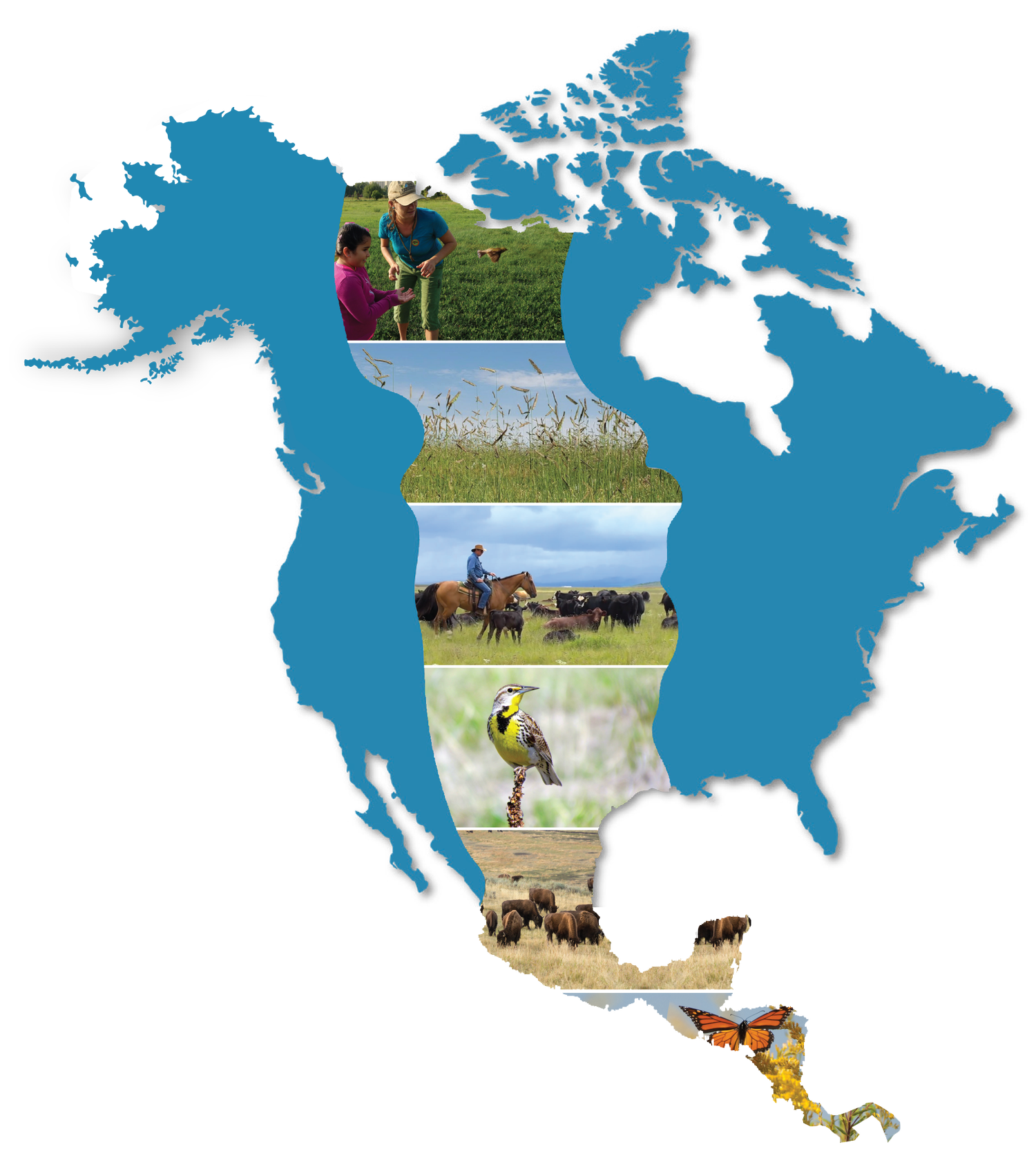
SPATIAL RESOURCES
Central Grasslands Bird Working Group (CGBWG)
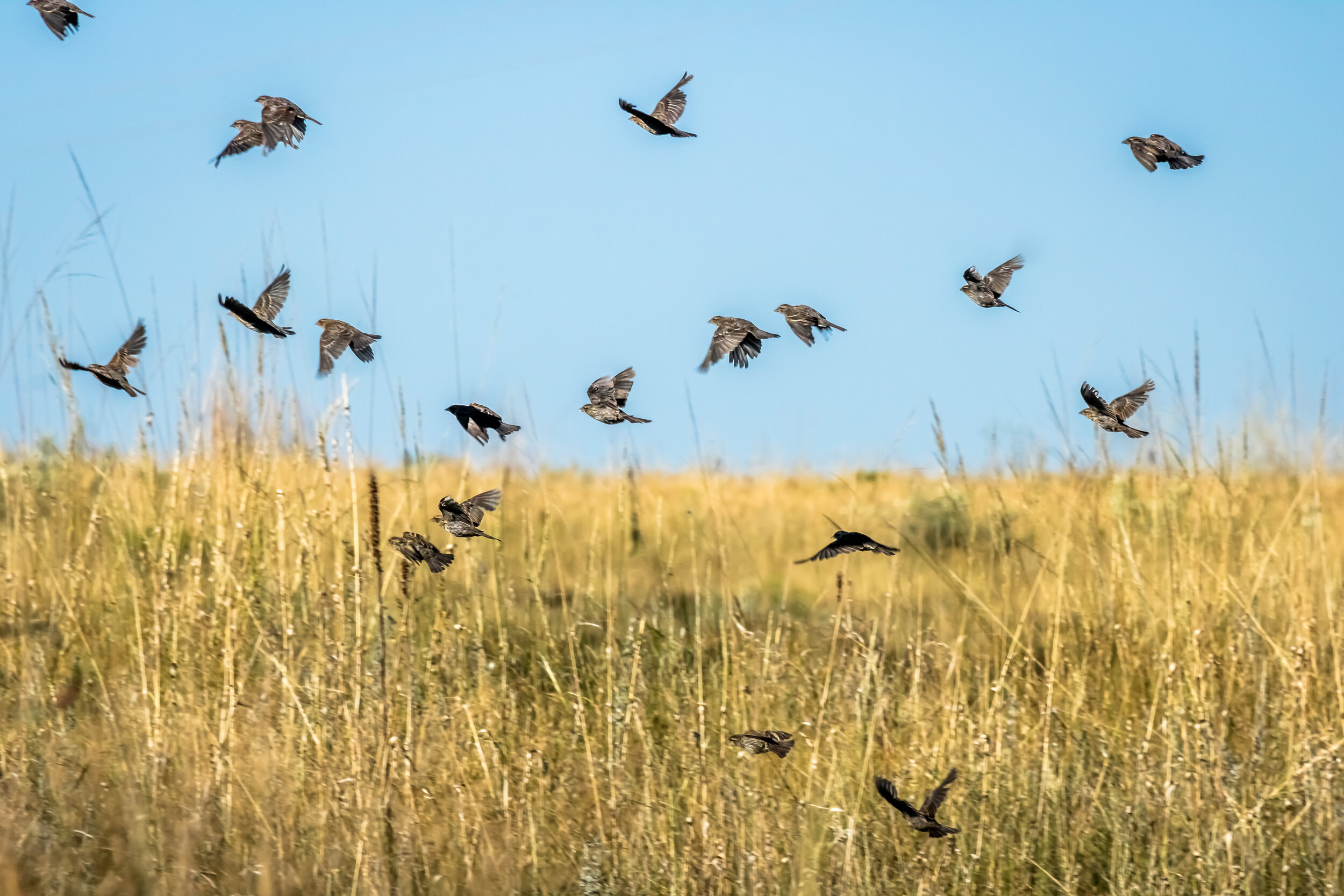
The CGBWG data and tool development efforts focus on the recovery of 17 steeply declining species. The approach covers a systems level approach to characterize spatial variation in population dynamics, limiting factors, and the key human dimensions essential for successful recovery and grassland conservation.
Just Announced from CGBWG! SPARRO!
The Spatial Prioritization for Avian Recovery and Rangeland Opportunity (SPARRO) web application is an interactive decision-support tool designed to help conservation planners, decision-makers, and land managers identify and prioritize opportunities for grassland conservation and restoration across the Great Plains.
The tool (currently in its Beta version) includes spatial data products for 17 grassland-dependent conservation priority species across the full-annual cycle, and accounts for two key drivers of grassland loss – agricultural conversion and woody plant encroachment. The tool is intended to support coordination and alignment among partners while helping to maximize the impact of conservation investments.
Over the next 6-8 months, we will continue refining SPARRO through a series of focus-groups and workshops aimed at gathering feedback, improving usability, and supporting its use. We invite the CGRI community to explore the Beta version of the tool and help shape its future development by following the links below.
Open the SPARRO App
Other Partner Spatial Resources, Monitoring Tools, and GIS Assessments
NRCS’ Working Lands for Wildlife “Last Great Grasslands” Map and Framework
Map Biomass Network (web tool), and Seeing Deforestation from Space (podcast)
The Nature Conservancy’s Resilient and Connected Landscapes Tool
The Grasslands Sagebrush Conservation Portal from the U.S. Fish and Wildlife Service
CGRI Mapping
See our “Map” page to explore our Biome Assessment Map and our Partner Showcase Map.