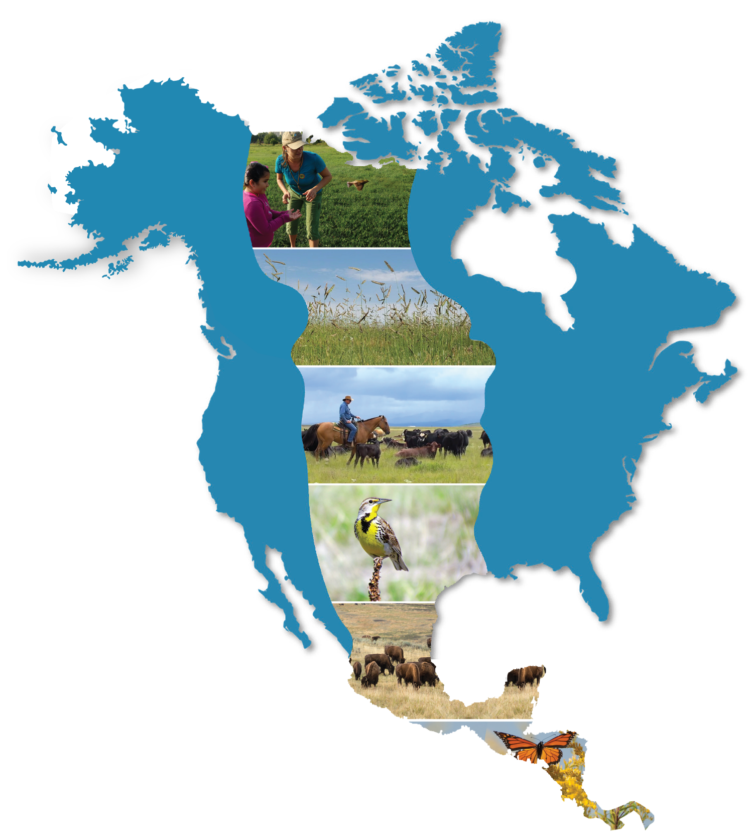
CGRI’s MAPPING RESOURCES
CGRI’s Assessment Map
Core to implementing the strategic framework presented in the Roadmap, the assessment map can help guide where voluntary conservation investments are needed.
Local partners and community members can use the map to understand conservation opportunities.
This is a large landscape, and significant resources are needed to ensure grasslands for the future by working in partnership with people living on the land ... this assessment map provides the foundation to do that collaborative work.
The map is reviewed and updated annually.
Further Explanation and DataShare V2
CGRI’s Partner & Project Showcase Map
Our Partner Showcase Map demonstrates the great conservation work happening in the biome.
Case studies are specific, local stories that describe successful conservation delivery.
Case studies collectively show the collaborative work towards the shared vision of CGRI and how regional conservation becomes relevant to the biome.
The overall map also illustrates the need for additional capacity and conservation delivery.
SUBMIT A STORY IN SPANISH
SUBMIT A STORY IN ENGLISH
PLEASE NOTE: While the map zooms to a detailed level, projects show approximate regional locations, not exact coordinates.